Add GPS-based signals
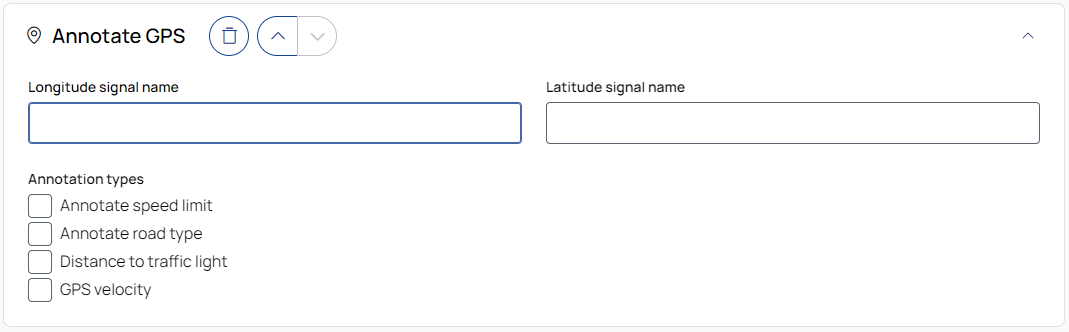
Longitude signal name
Enter the exact name of the longitude signal.
Latitude signal name
Enter the exact name of the latitude signal.
Signals to add
Select the types of annotations to add to your GPS data. The information used is obtained from © OpenStreetMap.
Speed limit: Maximum speed limits for road sections.
Road type: The classification of the road segment. The mapping is  as follows:
Distance to traffic light: Distance from the GPS position to the nearest traffic light.
GPS velocity: Instantaneous velocity calculated from changes in GPS position over time.

To remove the operation from the job, click the trash can button.

To move the operation up or down in the job sequence, use the arrow buttons next to the trash can icon.
![]() /
/![]()
To expand or collapse the operation, click the arrow in the top-right corner of the operation panel.